Looking for a change of pace and desperately wanting to get back on Slickrock, I decided to take a break from my adventures in the Virgin River Gorge and scout a few new areas. The Canaan Mountain area offers some of the best Slickrock outside of Zion National Park; deep and rugged, it quickly reminded me of the Kolob section of Zion National Park. Unfortunately, you have to want to hike and scramble in this area. It's just too hard to get to any mountain peaks without considerable effort.
“Trailhead, Squirrel Canyon”
I started relatively early, knowing I had a little longer drive to my trailhead. I am also unfamiliar with the area, so I wanted extra time to ensure I was in the correct spot. Nothing worse than wandering around looking for the trailhead as the day burns away. Thankfully my friends at Zion national-park.com have a partial description of their Squirrel Canyon - Water Canyon Loop, which includes Water Canyon Arch. I had hoped to complete the loop but wanted a shot at The Beehive, a massive sandstone dome rising above Squirrel Canyon. If time permits, I would continue to the Arch and complete the loop. It didn't take long to realize; the circle wasn't in this trip's cards.
Bo and Tayna's description of Squirrel Canyon's trailhead is spot on, with two exceptions. First, when exiting Highway 59, the street is Utah Ave, and the direction is east. The small discrepence is nothing too major; however, many cities have Drives, Avenues, Circles, and Places with the same first name. Second, at the Short Creek intersection, it is more of a "Y"; hang to the driver's right to get on the correct path. The Parking area hides behind waist-high sagebrush, so it doesn't look like a parking area until you arrive. The fence is prominent, and an ATV trail leads down a steep and sandy hillside into the ravine.
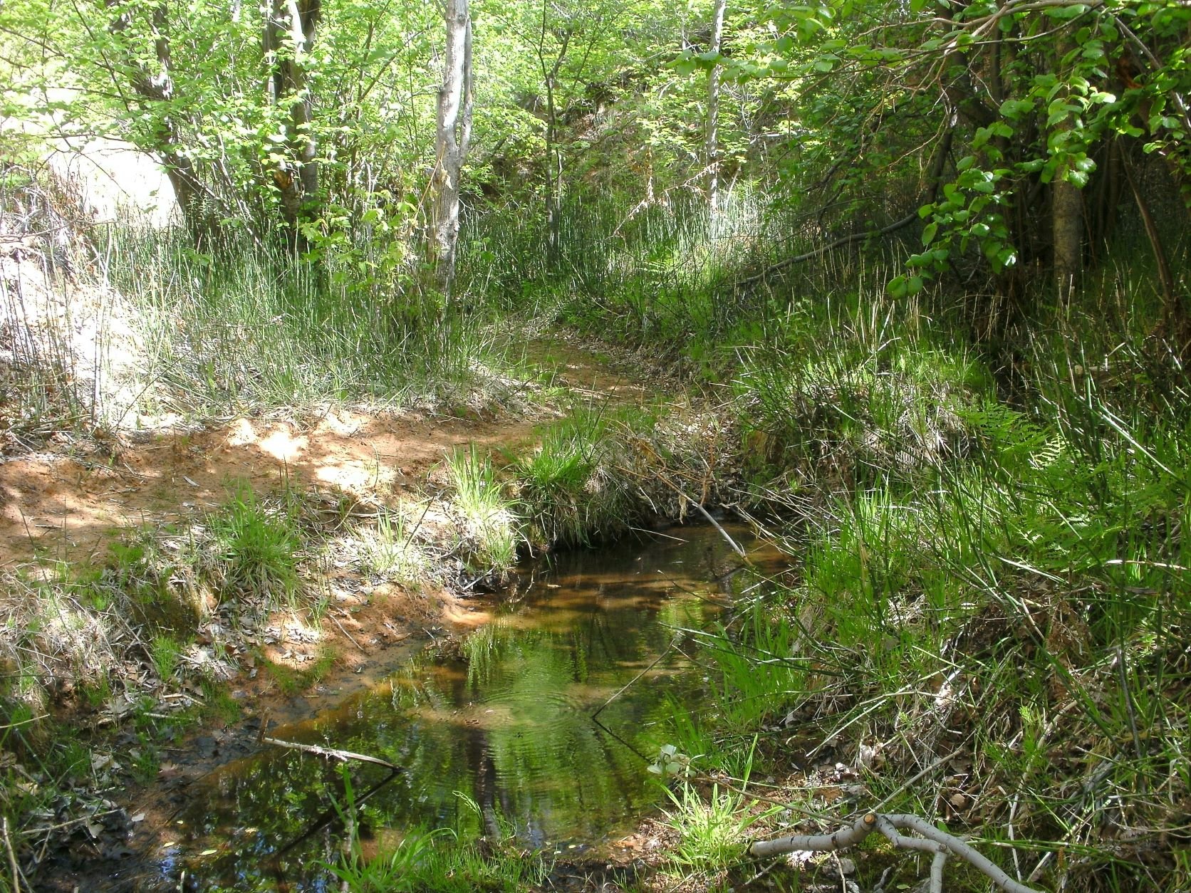
Trail view along the spring fed wash
You will be hiking on an ATV trail, a lot of the trail is sandy, but the hiking is pleasant. The wash had a little water flowing when I went, but it is probably dry during the summer months. In a beautiful grove of cottonwood trees, the ATV trail splits and turns up Squirrel Canyon (hikers left). Still following the ATV trail, the hiking is moderate to strenuous as elevation is quickly gained with each step. The Beehive is the towering rock dome above you on the hiker's right (north). As the ATV trail ends, a single-track trail wanders through beautiful green foliage. You can see an abundance of squirrels', the canyon's namesake, running from tree to tree.
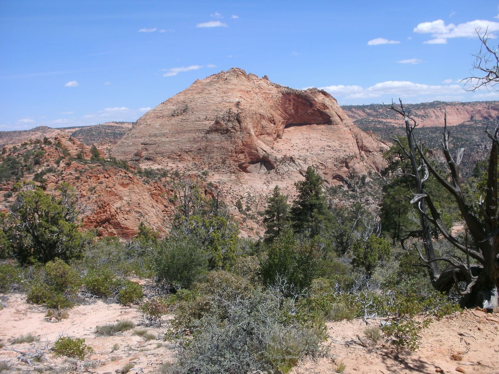
The trail leads to the creek and along the base of The Beehive. BLM workers have cut in a rough path, but be prepared to do some minor scrambling over a rocky trail and boulder steps. As the saddle is reached, stunning views south and back into Squirrel Canyon are breathtaking. A clear view of The Beehive left me wondering if the Class 3 rating was remotely accurate. Nothing I could see from this angle appeared anything close to Class 3.
Trail view of “The Beehive”
Continue up the ridge line until reaching The Canaan Mountain Trail. A cairn marks the spot, and a well-traveled (sandy) path leads left and right. I turned right and proceeded toward The Beehive. As the trail descended through deep sand, I couldn't help but think, "I have to come back this way, uphill in the sand." Finally, the track meets a wide wash marked with several small desert tanks. You can see a trail rising on the other side, hiking through the wash and over a small dune at the bend. Again, I am rewarded with a stunning view of the north face of the dome. My thoughts continue, "there is no way this is a Class 3 ascent!".
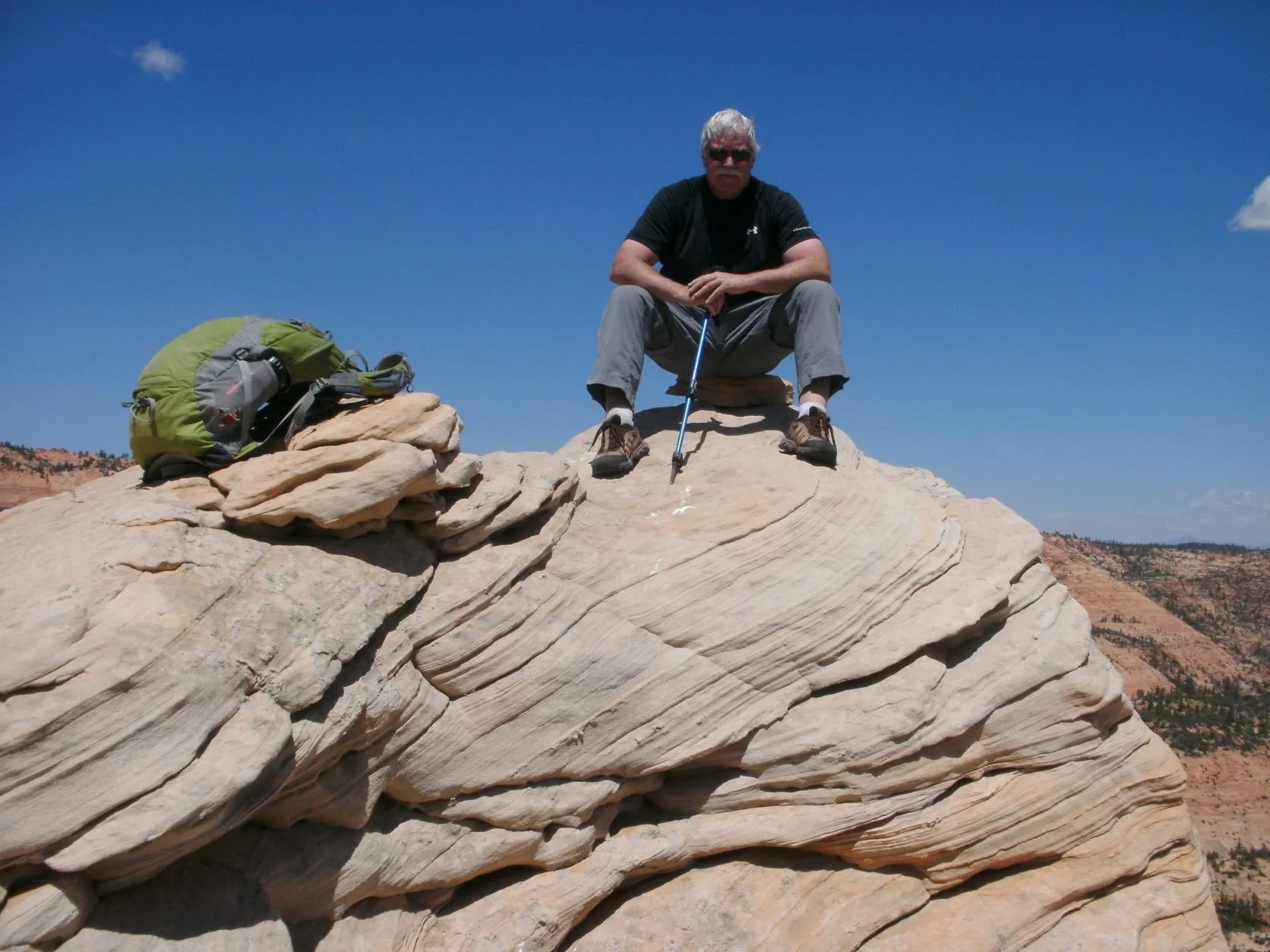
Dropping into the wash between the ridge and the face, I get my first glimpse of the true slant; possible, just possible, it is Class 3. Walking up to where the Slickrock meets the sandy ridge, I'm convinced. It is Class 3. Mind-blowing optical illusion. The face is incredible—solid Class 3 ascent. Lovely shelf systems, substantial cracks, beautiful. A large pine tree would make a nice belay station if someone wanted to lug a rope for weaker climbers. From the pine tree to the summit area, the scramble reverts to Class 2+—nice rolling dryfall up the face to the summit hoodoos. I scrambled the two most prominent hoodoos, east, and west. A large stone sits on the eastern hoodoo, and according to my GPS, this is the correct summit, but GPS elevation can be wildly inaccurate. The hoodoo is a nice scramble in and of itself, with a corkscrew ledge system to arrive at the peak.
Summit area view of Squirrell canyon
I enjoyed an afternoon snack and sat in awe at the surrounding red rock. Breathtaking. Getting away for the day, and spending it out of doors, is just what the doctor ordered. Use caution in the downclimb, but solid Class 3 means no need, nor did I feel required to have any hand line. Plenty of bushes and small trees would allow the use of a rope if you feel the need, but if you are comfortable on steep Slickrock, this face is a beauty.
Summit Hoodoo on The Beehive.
Hiking back up the Canaan Mountain Trail isn't as difficult as I thought, and at the trail cairn, I turned back toward Squirrel Canyon and my awaiting vehicle. Hiking in this remote section of Utah on the border of Arizona won't be the last time I visit this beautiful area!
Written May 9, 2014


