
The view into Shirts Canyon has always been a favorite of mine. Driving along I-15, the red pinnacle spires of Sugarloaf Mountain and Peak 8367 offset against the blue/green backdrop of Pryor Knoll and Cedar Mountain are breathtaking in their rugged beauty.

Route view looking southwest
Driving north on I-15, take the Hamiltons Fort exit (exit 51) and continue north on the frontage road until it crosses back over the freeway. Turn right at the first opportunity. Driving south on I-15, take the Cedar City exit (exit 57) and drive south on the frontage road. To find the Shirts Canyon road turn on the main road with several buildings just off the frontage road. It is marked best by a motocross track. Soon the asphalt road ends. The first left is Shirts Canyon. Stay to the left at the major fork in the street, and soon the drive takes you deep into the hillside. A beautiful level area between Sugarloaf Mountain and Peak 8367 ends with a "no trespassing" sign, gate and fence.

Sugarloaf Mountain as seen from parking area
A small turnout before the gate allows for parking. Sugarloaf Mountain is on BLM ground. But private land is close, so make sure to use your map to determine your location.
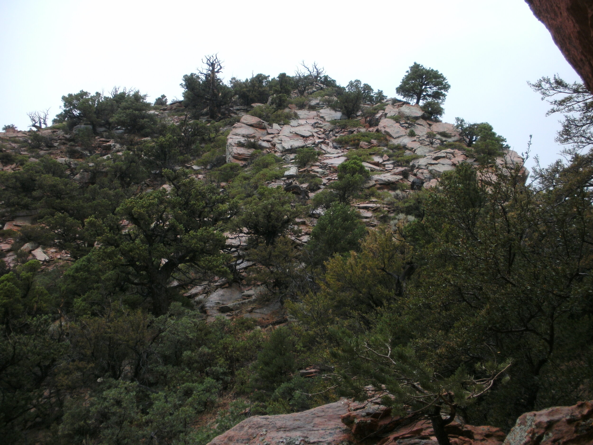
Bushwacking is the norm for this hike; proceed east toward the red spires, picking your way as best you can. Some game trails exist, but it isn't easy going. Be sure to wear long pants and a long sleeve shirt. The going becomes somewhat easier after dropping into the creek bottom, but not much.

Bushwacking
The weather for the day showed a 30% chance of rain. Clouds moved overhead as I proceeded to pick my route up the side of the hill. I watched as several storms flow through the valley, but always to the right or left of my position. Sugarloaf Mountain requires some route-finding skills, but the task is not to difficult. Try and stay to the east, as you move up and through the various ledge systems.

Working up the wedge between slickrock slabs
Nearing the high saddle, I watched with some trepidation between the double summit as a massive storm front began building behind me. I knew I was going to get wet as the rain descended in sheets on peak 8367, and the storm started slowly moving north toward my position. The first thunderclap caused me to drop my metal hiking pole and pick up the pace toward the ledge system on the west, hoping to find relief, protection, and rain, and lightning. The gully is steep and choked with trees, as more lightning and thunder heightened my anxiety.

Storm approach
Finding no place to hide on the western rock, I quickly made my way toward the eastern ridgeline, momentarily thinking I could sit under a tree for protection from the rain. Another thunderclap erased that idea from my mind. It's starting to rain harder, as I see, what appears to be an indentation up a short scramble. Using hands, and as much speed as I dare, on the now slick rock. I move up and over into a beautiful dry overhang. Perfect! Dropping my pack, I sit back and relax. Thunder in the canyon is causing me to cover my ears as the storm makes it's way slowly across the canyon. I don't mind, I'm dry, as I settle in to have a snack. The summit is in sight, and it looks beautiful bathed in the fresh rain. Storm clouds are moving through the valley, and I begin to worry that this might be a substantial storm, and I might be stuck here for some time.
Shelter view of summit
About 45 minutes later, the storm blows over, and the sun comes out. After the short reprieve, I make my way to the summit. The going is muddy in some spots; the rock is slick in others. But the views and freshness the rains brought are priceless. A summit cairn exists, but no registration. I had remembered to bring a jar with paper and pen this time. Smiling, I add my signature to this beautiful hike.

Summit Cairn Sugarloaf Mountain