
I've been trying to think of how to write this trip report for two weeks now. Today was such a fantastic day that it is difficult for me to put into words with my limited writing skills. I'll do my best, and hopefully, I can convey some meaning to my experience. Today is Tuesday. I once again headed toward Enterprise Utah and the Hardscrabble ATV trail system. Having been to the area a couple of times now, I know where I need to park for today's ride and find the empty campsite waiting for me to unload.
The ATV ride will be shorter than usual today as I need to be back in Cedar City by 3:00 for a doctor's appointment. I'm not particularly eager to put limits on my outdoor activities because one never knows what will happen; however, I am hopeful to summit two peaks today, eat lunch at Marv's Drive-In and be home in plenty of time.

UNP6312
I follow my expected route on GPS and turn onto the ATV track near UNP6312. The peak is the large cinder cone with the large painted "E" for Enterprise to the west of town. The track is well-traveled, and my tires spin and slide in the cinder lava rock. There was a separate route back near the fence line, and as I draw close to the large "E," I realize I'm on the wrong path. However, a broad area allows me to turn around, and as I do so, I decide to park the ATV and hike the short distance to the summit.

Standing on top of the “E” for Enterprise
The summit of UNP6312 is a nondescript knoll of cinder rock and Juniper Trees. No cairn resides on the peak as I walk the area looking for a survey marker. The ATV track does loop its way to the summit, but the hike was pleasant, so I don't mind the walk.

UNP6312 summit view northeast looking over Enterprise
Back at the quad heading down the track, I feel thankful that I missed the much steeper trail as my tires slide in the cinder. The next segment of my ATV ride is long as I approach Flat Top Mountain. The road is smooth, and I make a note of the junction which leads to Pilot Peak for future reference. Wildflowers cover the hillside as the path leads up the canyon. With the still morning sun reflecting off of each petal, it is a sight to behold.
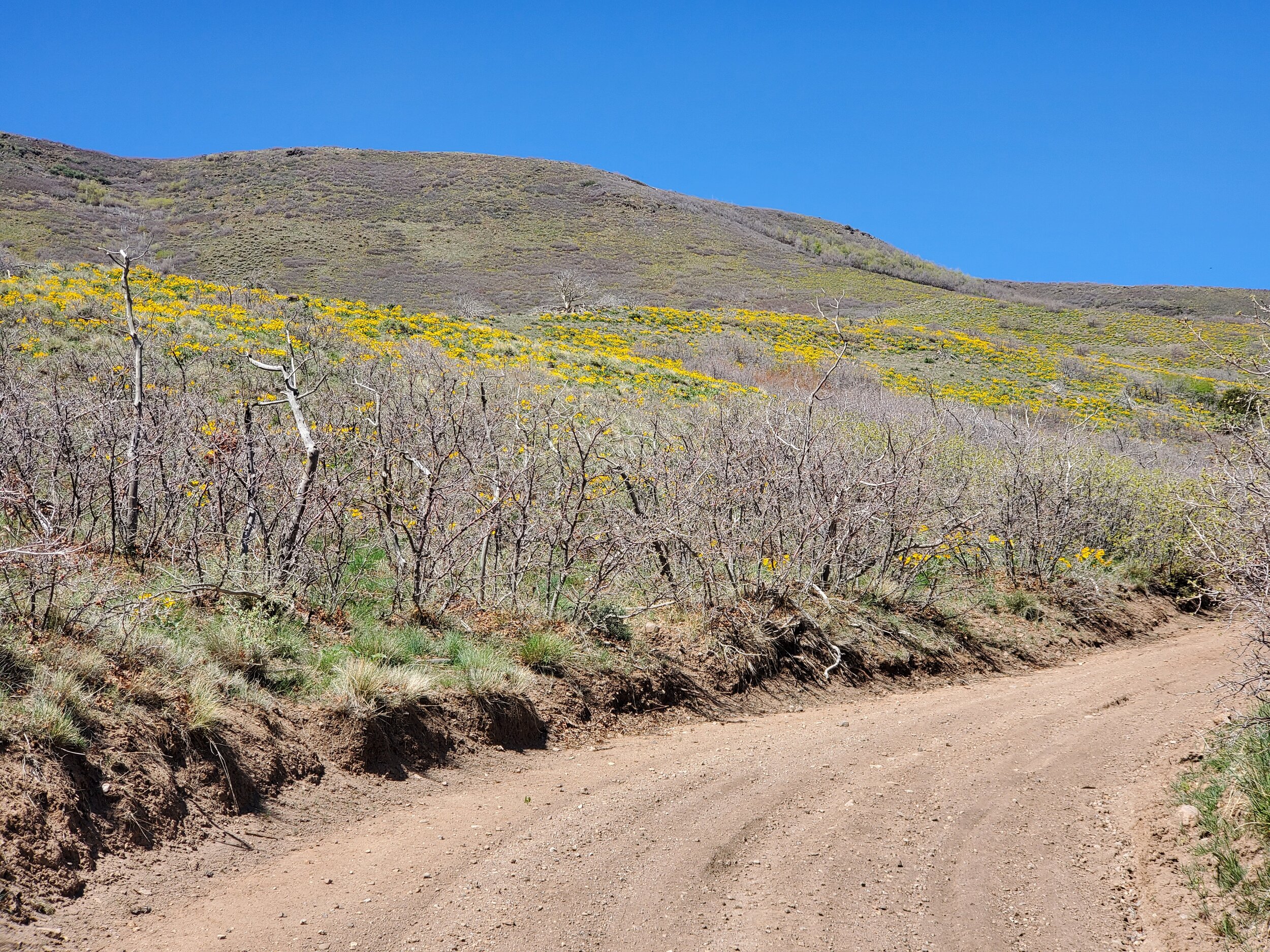
Wildflowers
The canyon road becomes steep and treacherous as I slowly make my way to the top—a white stake marks where a life-flight helicopter landed to remind everyone to think safety first. Flat Top Mountain is a plateau, and once I reach the higher level, I can again pick up speed toward the far southern end and the tower that marks a viewpoint. The actual mountain summit is behind me to the north, and the rugged lava rock cap is easy to spot atop a slight rise.

Southern tip of Flat Top Mountain (tower area)
I stretch my legs and walk around the plateau's southern edge and marvel at the views to the south. Stunning mountain peaks dot the western panorama, and I can see Pilot Peak and the probable route for the Pilot Peak Trail.

Southern Tip of Flat Top Mountain view east-southeast.
The ATV route to the summit cap is a rugged, recently cut trail that jars the body as I slowly crawl over and around boulders. Instead of sitting atop a slight rise, the rock cap rest atop a large hill as I drop into a small valley that cuts across the plateau. Color catches my eye, and I see an American Flag waving in the slight breeze at the base of the knoll. The flag rests in a cairn of rock, and surrounding the memorial are pieces of metal. A horizontal pipe on the flagpole reveals the monument's purpose to honor Pilots Charles Butterwick and Charles Ives, who lost their lives in a plane crash on this site in 1943. The metal surrounding the monument are pieces of the plane that hikers have found and retrieved from the hillside.

Monument with Flat Top Summit cap in background.
I hike to the summit. A summit cairn, registration, and U.S. Geological Survey Mark (1937) exists at the peak. I sign my name and sit on a flat rock to eat my lunch. Today is such a beautiful day. No clouds appear anywhere in the sky. The slight breeze keeps my body relaxed and ruffles the beautiful flag at the base of the hill. I gather my belongings and hike off the southern ridge to form a small loop of the peak.

Flat Top Mountain summit view north
On my descent, I note two additional OHV are making their way to the memorial. Stopping to chat, I comment on how nice it was for someone to set up the monument. As it turns out, one of the OHV riders is that individual, and he has set up several sites to honor the pilots killed in Washington County. Intrigued, I listened to his story and the story of the plane crash. Aviation history in the area has such a fantastic story, and I marvel that I haven't given it much thought. I am glad that people like Steve Hunt of Enterprise, UT, pay attention to history and take the time to research, find and mark the locations so we all might remember those who have gone before us.

Steve Hunt (left) Enterprise UT and Glenn McMinnville (right) Pocatello Idaho
CalTOPO map of area can be found here.