
I'm finally heading north for today's hiking. Months ago, Linda and I went rockhounding north of Milford, Utah. On our way to an abandoned quarry of snowflake obsidian, we passed several Cricket Mountain OHV Trail System signs. I'm heading back today with a map, mountain peak coordinates, and a list of trails.
I decided to leave the quad at home this trip. The trip is more of an exploratory survey of the area. I hope to summit two peaks and do a general drive around to check road conditions, possible camping sites, and distance between mountains. I'm excited that I have 35 peaks marked on my map, and they are all concentrated in a relatively small area. That is unusual. It is also uncommon that a trail system leading between the various ranges makes access more readily available.

Red Rock Knoll
Crystal Peak Road is wide, gravel, and an exceptionally well maintain road heading west. The road condition is a pleasant surprise; however, I am focused on the slight rise to the left and sitting under the power lines. Small in comparison to the surrounding hills, the swell is Red Rock Knoll. The knolls rise is 307 feet, marking it as a ranked peak in the area and my first destination for today.
A power pole sits on a high saddle of the knoll. If I took the time to find a route around the hill, I could drive to the pole area and park. I decide to hike from my current location on the north side. The hike is longer, but the peak isn't that big anyway.
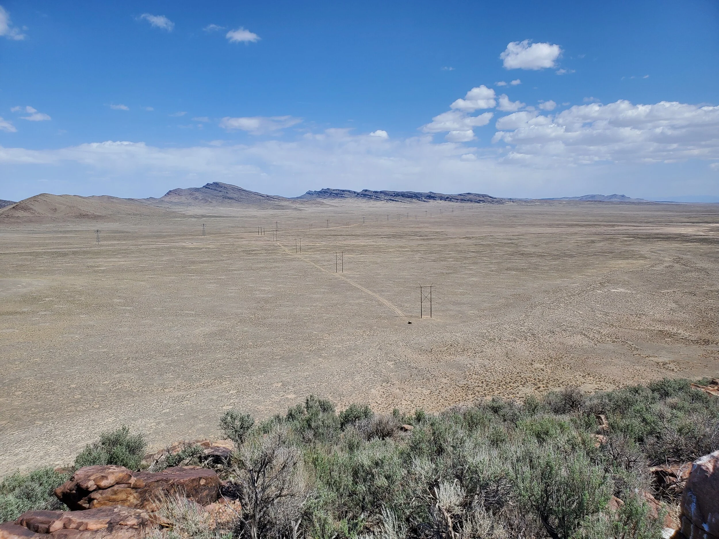
Summit View North, Fj near power pole
Rocky and surprisingly steep in spots, I arrive at the coordinates marking the summit in about 30 minutes. No summit cairn exists, but someone has created a small rock windbreak near the top. An elongated rise on the western edge looks higher, so I hike to the subsequent rock outcropping and take an elevation reading. Looks can be deceiving as this rise is almost 12 feet lower than the previous reading.
Back at the Fj, I drive toward my second mountain of the day. The road splits from Cristal Peak Road, but this road is also well maintained, not as wide, but smooth and even. As I drive through a series of smaller peaks, my second designated ascent comes into view. This mountain is considerably larger. More prominent in a sense, it would be a 3 - 4 hour hike to the top versus the one-hour round trip hike of Red Rock Knoll.

UNP 6180 picture center, Unnamed peaks 5797 and 5748 picture left
I continue to follow the road, marking my map and taking notes of other peaks in the immediate vicinity. Passing a small corral, the dry lake bed of Sevier Lake comes into view. I turn the jeep around to scout out two other mountains in the area. All the hills I've reviewed today will take longer to climb than what I have remaining today. That is okay. I've found several good camping sites, and I look forward to returning soon.

Dry bed of Sevier Lake
CalTopo map can be found here.