
I have no idea if the Paiute Trail system is in sections. The Paiute / Gooseberry OHV trail map guide I purchased, breaks the trail system down to various maps, but that is simply because the entire trail system is too large to cover on a single page.
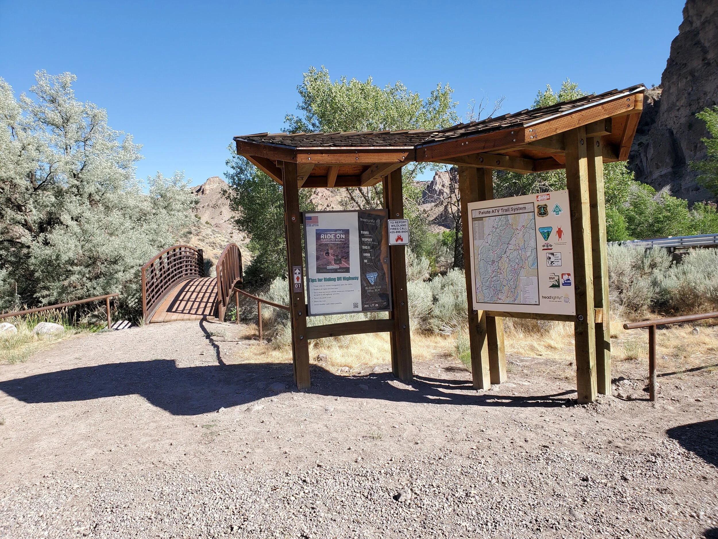
Staging area, information board and narrow bridge
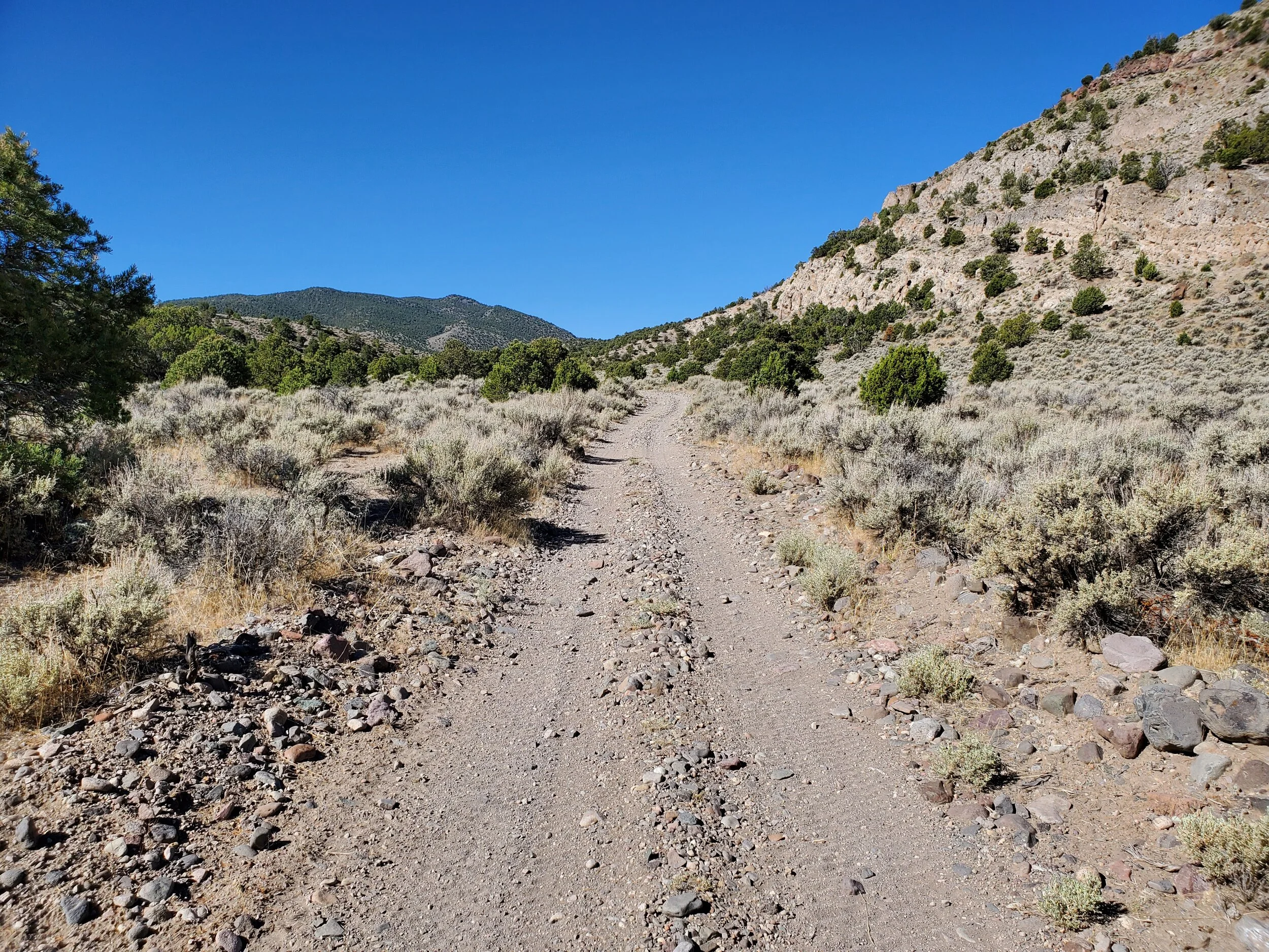
I unloaded the quad here at the staging area, which appears to be a recent construction. Restroom facilities, Information maps, and placard exist near a bridge over the Rocky Ford Creek to the west. The bridge design is to restrict ATVs larger than 50-inch. It is a tight fit as I drive across the stream. The trail starts as an old road but soon turns into an exact ATV track as it follows the stream bed up the canyon. Well placed signs at junctions allow me to follow the path with ease, and I am enjoying the ride and the surrounding hillside views.
Without a map or plan (only GPS), I decided to turn around at the high saddle. I don't like to travel where no one knows where I am, and although my GPS allows me to text messages via satellite system, it does me no good because Linda can't receive cell service at the Otter Creek State Park.
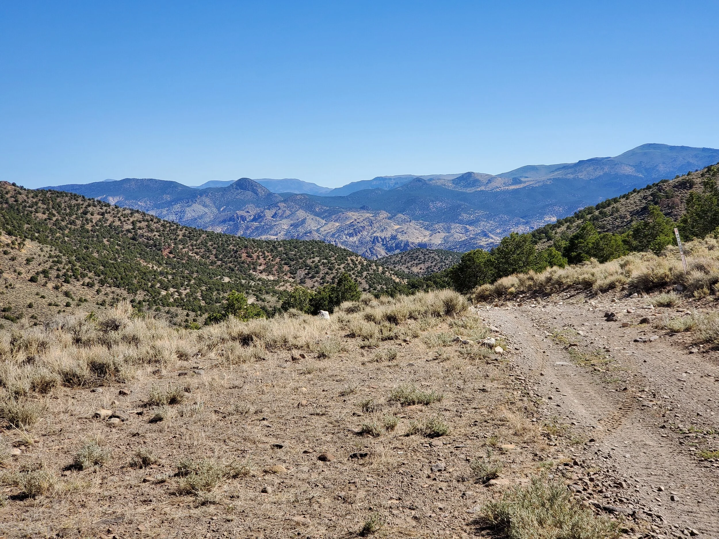
High saddle turnaround
The ride is nice and uneventful, and I'm excited to learn more about the ATV trail systems that wander through the surrounding country.
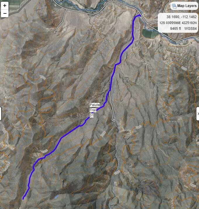
ATV ride to high saddle