I've been working on the computer all morning; however, I'm finally drawing to a close on the chunk of data I wanted to get across from TheBrain to Obsidian before heading out the door. It has taken longer than I expected. I mentioned a few weeks ago that my brain had crashed. Moving over 30,000 notes from one form of software to another has been time-consuming but necessary as I discover new ways to take advantage of Obsidian's platform. Now that I'm finished for the day, it's time to go hiking.
I had planned to go somewhere close, so the late start doesn't bother me; what bothers me is this is my fourth trip to the Badger Peak - UT quadrangle, and I have yet to climb any of the significant peaks. Three times I've had to turn back due to road conditions, the first caused by snow early in the year, the second caused by our monsoon season. The wet clay roads held too much water in places that became impassable. The third was the result of our monsoon season destruction. I hope those areas are graded or at least dry.
The wet ground has turned dry with the last of the storms that ended almost a month ago, and dust plumes behind my vehicle as I cruise down Lund highway. Two trucks park near my exit, and I'm relieved to see trailers attached, knowing that ATV riders are using the roads, which is a good indication they have improved.
I turned north off Lund highway, and the roads are in good condition; however, they still contain tire marks in low places, causing a start and stop type of travel. I speed up on the sound section of the road, slowing down to cross washed-out areas or tire tracks that tore up the road and are now baked into the surface. This first section has not improved yet; however, upon turning onto the ATV track, I find the worst of the damage (around cattle guards) to be completely repaired and graded. Kudos to Iron County crews for getting things done.
Two roads’ head in the direction I want to travel today; both are not designated as ATV tracks, so I'm not sure what condition I'll find either of them in today. The first rise toward Monument Peak along the top of a small ridge, and I opt for the high road. The second follows the gully, and I figure without crews to maintain the path, the way through the wash has probably been destroyed.
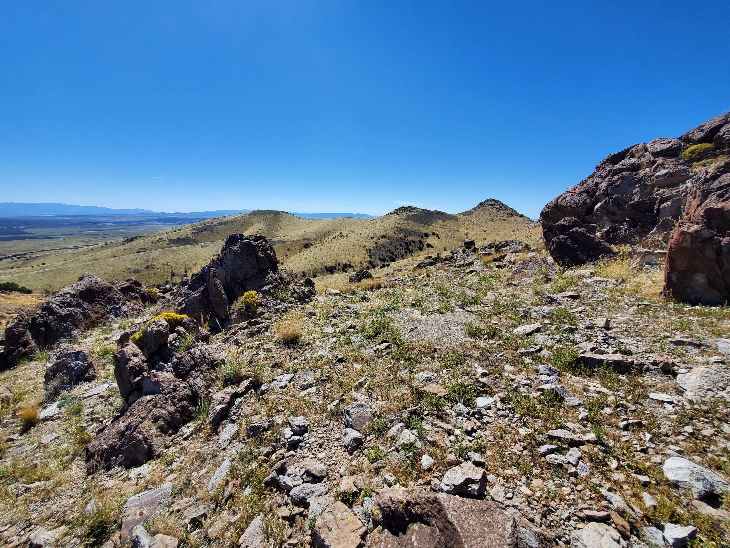
Driving the ridge road is a slow and cumbersome process. A route exists; however, it hasn't seen use in some time and is reasonably overgrown with weeds. However, the big rocks have been pushed to the side, so the going is slow but consistent. Monument Peak is stunning as it looms to the west.
“Prominent Rocky Ridgeline Peaks” copyright BrickBarnBlog2022
The valley rises slowly toward a small knoll just south of Monument Peak, providing a gentle rise covered in the dry brown grass. Two prominent rocky peaks emerge from the ridgeline before rising dramatically toward the summit. I'm excited as I park the Fj at the end of the road among Juniper trees. Unfortunately, a significant fire has burned through the area, later chained and replanted with grass to help protect the soil and control weeds. The Bureau of Land Management has done an excellent job with this section of land. Fortunately, I suspect the road I just traveled was a fire road or a reclaiming road cut to reseed the area.
“Rocky Ridgeline Trail View” copyright BrickBarnBlog2022
Monument Peak looks far away as I hike across the ridges, trying to stay on an even grade. A few ravines exist between my current location and the mountain's base. I don't want to waste energy hiking up and down—just a gentle walk through the trees. Soon the trees give way to the southeast-facing ridge I have selected for my ascent. As I move onto the ridgeline near the rocky outcroppings, the course is steep but passable. I'm in no hurry, just happy to be climbing my first significant peak in the area, and I stop for a break under the lone Juniper tree on the ridge.
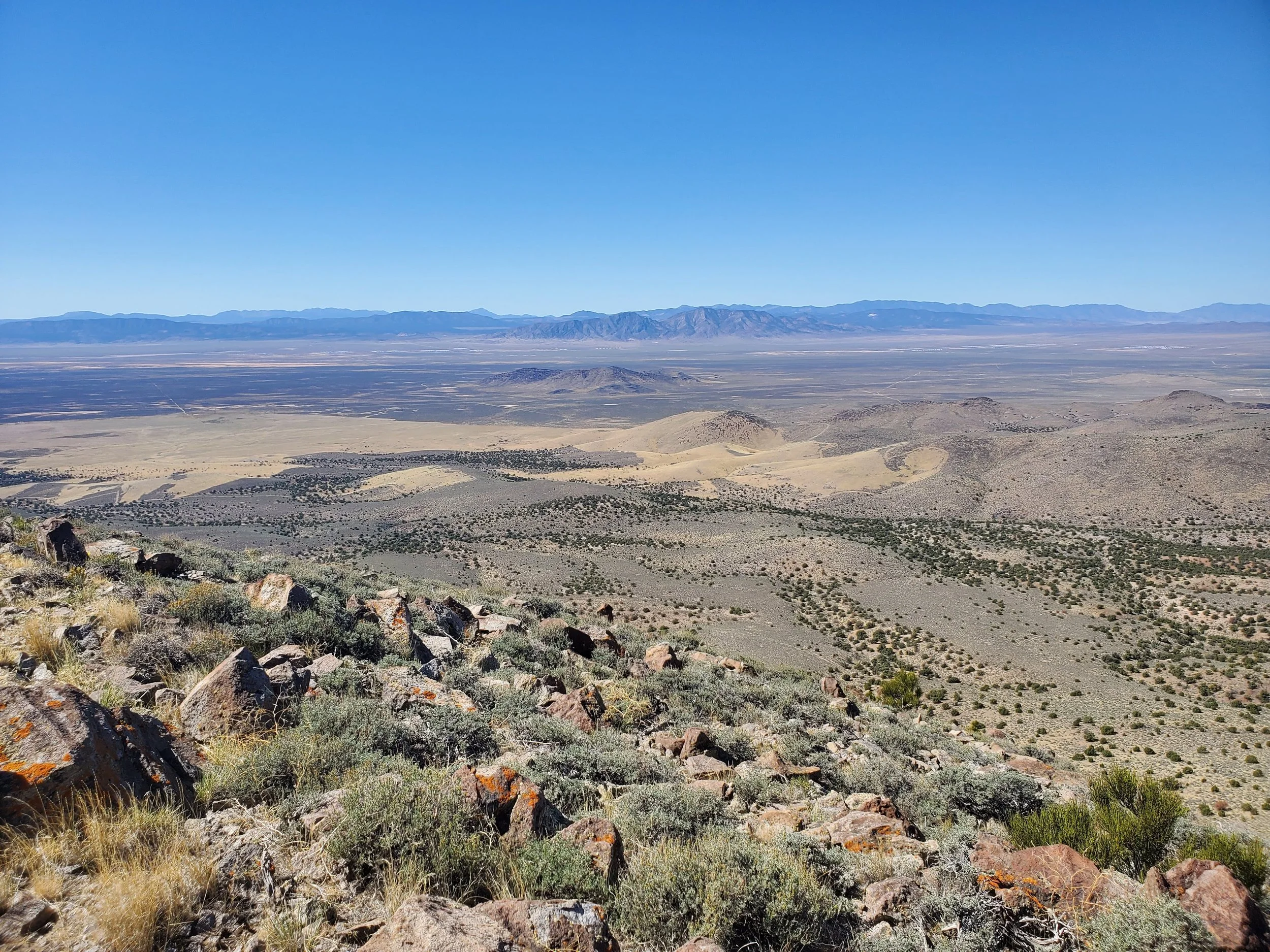
I reach the summit after 1h:35m of hiking. It is a beautiful mountain peak with a summit cairn built around a U.S. Geological survey marker. A slight wind blind has been made beside the summit marker as I wander around on the small peak, taking pictures and enjoying the view. I debate about hiking to Twin Peaks, South, the next summit on the ridge, but decide against it when I look at the steep drop-off from Monument Peak to the saddle.
“Summit View West” copyright BrickBarnBlog2022
I choose instead to spend more time on the summit, drinking in the fresh air and the fantastic views. Next, I descend along the more northern ridge line, which also heads east, this ridgeline appearing less steep from my vantage spot across the vast chasm between the two. It is easier to traverse, and I make my way back along the wash separating the Monument Peak range from the mountains to the east. The return trip takes 1h:06m as I drop my pack into the Jeep. Hoping to sit in the cool shade and rest, buzzing flies bring that to a quick end, and I settle for the air conditioning of the Fj as I make my way back along the road.
Written September 24, 2022


