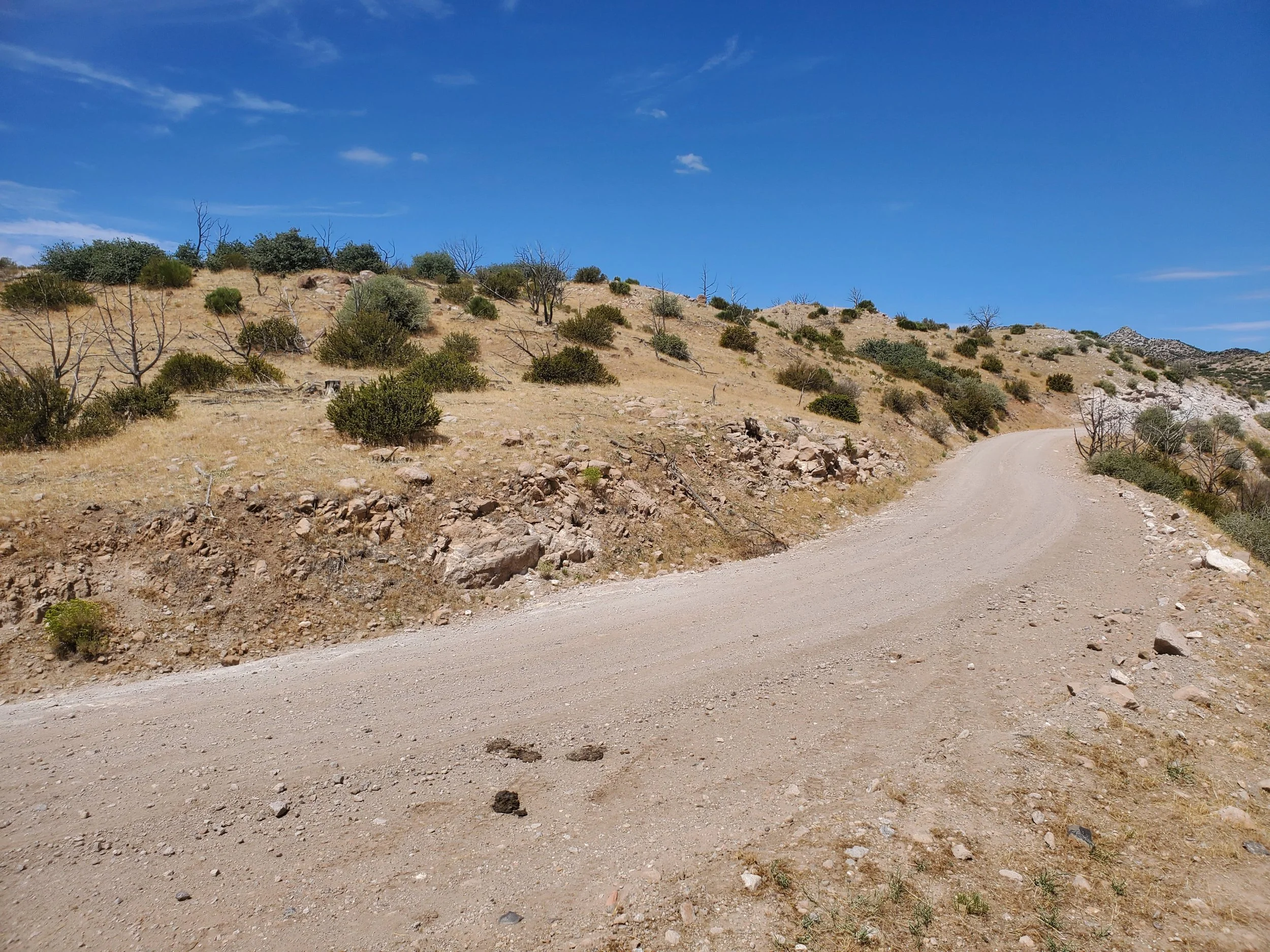
I finally got to travel the Veyo Shoal Creek Road from Enterprise reservoir to where it connects just outside Veyo, UT, on CR-3184. Last Friday, the rain had been heavy, and although the Veyo Shoal Creek Road is a maintained gravel road (meaning road base and graded), there are sections where an abundance of clay would have made passage difficult. In Veyo, connecting first with CR-3184 and then UT-18, traveling north back towards Enterprise, UT, formed a fun and scenic loop.
Only two disappointments occurred on this trip. First, Veyo Pies are closed on Monday and Tuesdays; therefore, the owners needing two days off in the middle of the week thwarted my plan to bring home a banana cream pie (I don't blame them, they work so hard to bring such joy to so many). And second, I only had enough strength for two summit ascents. I mentioned last week that I am trying to get back into hiking shape after knee reconstruction surgery. On Tuesday, a week ago, I wanted to hike slow and steady, long and level. Today I need to loosen up my hamstrings and glute muscles. I spent the weekend planting flowers by our front walkway (I tended half before using the knee as an excuse to ask Linda to cultivate the other half); however, my hamstrings and glute muscles have been extremely sore. I hope some solid uphill work can loosen the muscles and build strength.
I've mapped the peaks in Maple Ridge - UT, quadrangle, noting camping sites and trailheads from previous visits to the area. Today's trip is to extend my travels the length of the Veyo Shoal Creek Road and hike at least two peaks with some anticipation of rambling three or more. There are five accessible peaks near the road, and depending on my knee's strength, time remaining, and the route's condition, I see where I end up.
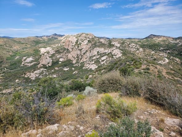
“UNP6122 Trail view of Veyo Shoal Creek Road” copyright BrickBarnBlog2022
The road is dry, and few clouds roam the sky overhead. I pull off to the side of the road in a short but wide pullout located on the saddle between unnamed peak 6122 and Maple Ridge. Maple Ridge is to the west of my current position and is a beautiful rocky ridgeline culminating in the quadrangles namesakes unranked summit. I plan on hiking the short but steep hillside to the east, and I put on my pack and pick up my hiking poles. UNP6122 has a false summit directly in front of me; however, the thick underbrush on both sides of this minor ridgeline forces me toward the erroneous peak. Usually, I'm not particularly eager to hike up, only to hike back down into a saddle, but on arrival at the false top, the route ahead is a minor drop at best.
I arrive at the true summit for UNP6122 in just under 30-minutes—a summit cairn of stacked rocks marks the spot. I dig around for a few minutes before determining that no summit registration canister exists. The scenery is beautiful, and I circle the top section taking pictures before heading back down to my waiting vehicle. It is the return trip that has me excited. Generally, my downhill hiking requires sidestepping a length of the hillside at a time due to knee issues. With my new knee, I can walk down the hillside in a typical fashion. I am excited! The ability to hike up and down a mountain peak was the desired outcome of the knee reconstruction, and to hike back to the waiting jeep in less time than the climb is a first in quite a while.
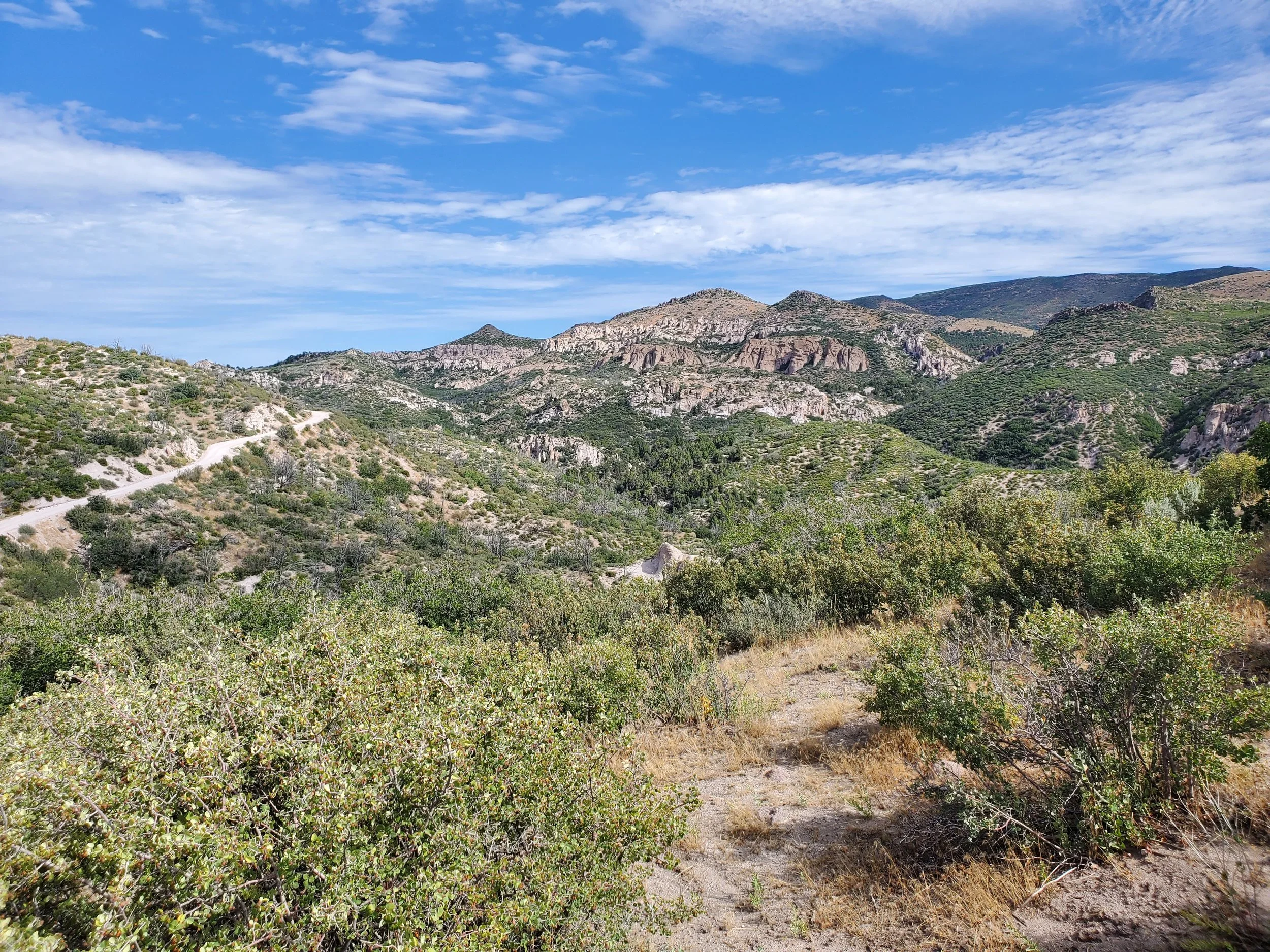
“Summit view of Windy Peak” copyright BrickBarnBlog2022
I pass the turn for 30004 Burnt Canyon and The Pinnacles on my right and continue to follow the Veyo Shoal Creek Road. The road cuts along a steep hillside to another high saddle between UNP6506 and UNP6442. I attempted to hike up the shorter of the two (UNP6442), but several steps down the road, I realized I was finished hiking for the day.
Continuing to scout along the road, I make map markers of major ATV trails and a trailhead in the area. Unfortunately, the trailhead sign was unreadable, and as best I've determined, it is a hike up an old path named Johnson Road. Nevertheless, the satellite view appears to be an ATV trail, and I'll have to explore more on my next trip.
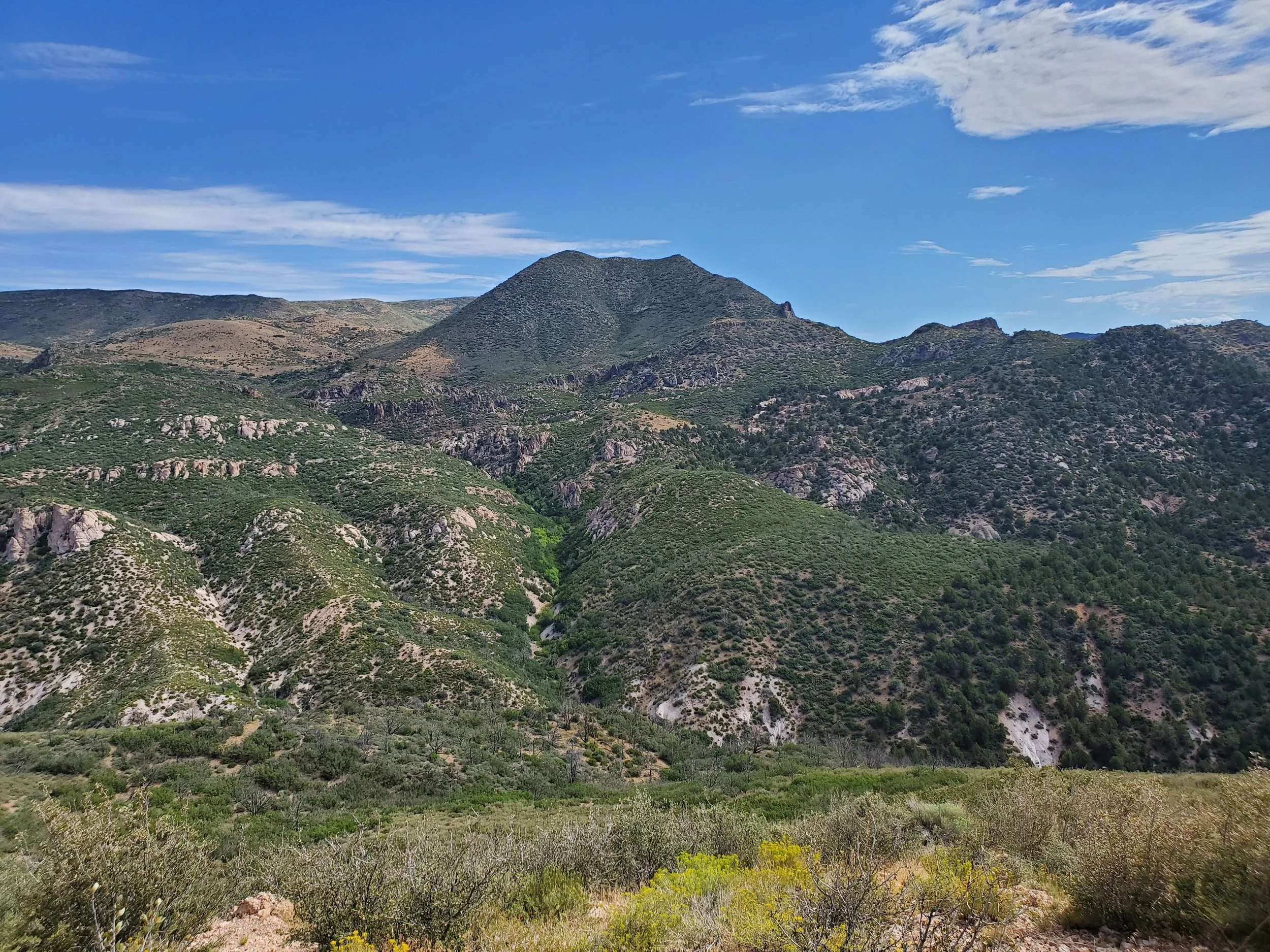
“Long Ridge” copyright BrickBarnBlog2022
The road finally crossed up and over Long Ridge, and to my surprise, a short pullover existed for a fantastic view of the Pine Valley Mountains. Behind me is the small non-ranked summit of Long Ridge, and I decide I have just enough energy for another small hike.
Driving back along UT-18, I'm excited to revisit this area, hike a few more trails, and climb a few more peaks. But, as UT-18 junctions with UT-219, I look at the time. So, just a little after one o'clock, I turn left and head back into Enterprise for one more pilgrimage to Marv's Diner for another one of their delicious hamburger and french fries.
Written August 9, 2022


