Last year, Linda took on a summer project called Flat Stanley. We were supposed to take Flat Stanley with us and then report back to a little first grader named Kim on our grand adventures. Today, Flat Stanley said farewell from a garbage sack on his final adventure to the local landfill. I couldn’t help but remember the fun little email I sent to Kim upon returning from our climb of Burnt Peak.
Hi Kim,
My name is Steve; I’m Linda’s husband and a friend of Flat Stanley. Flat Stanley and I decided to go on an adventure today by riding an ATV (All-terrain vehicle) through some backcountry roads and then climbing Burnt Peak mountain.
“Flat Stanley and GPS” copyright BrickBarnBlog2021
Flat Stanley is in charge of the GPS (Global Positioning Device), which is very important to avoid getting lost. The GPS will relay our position back to the device in latitude and longitude to help us find our way to the mountain summit and then back to our car.
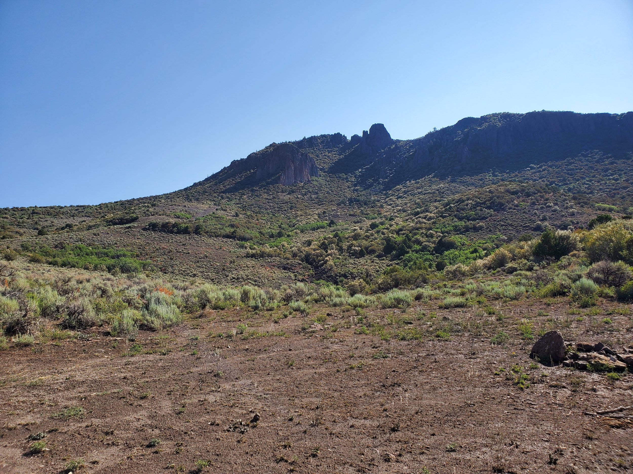
“Burnt Peak” copyright BrickBarnBlog2021
Here is a picture of Burnt Peak. First, we will ride the ATV to the backside of the hill, where a separate path will allow up to climb to the top.
Stanley and I sent Linda a screenshot of our map to let her know where we parked the ATV, and our hike began.
“Flat Stanley Hydration” copyright BrickBarnBlog2021
Staying hydrated (drinking water) is essential when hiking. So Flat Stanley and I take a break. Stanley rests while I drink plenty of water.
We reach the summit of Burnt Mountain!
“Flat Stanley Summit Views” copyright BrickBarnBlog2021
Flat Stanley loves the views from the high elevation of 8,784’. The GPS coordinates of 38.0504, -112.5336, when plugged into Google Maps, will allow you to see where we are!
We arrived back safe and sound! I hope you had a good day too.
Signed,
Flat Stanley and Steve
—-
Frankly, probably one of the better trips reports that I have written. There is no fluff, no frills, and the thrill of doing something for a child you’ll never know or meet.
References:
Journal entry and PDF of email July 16, 2021.


