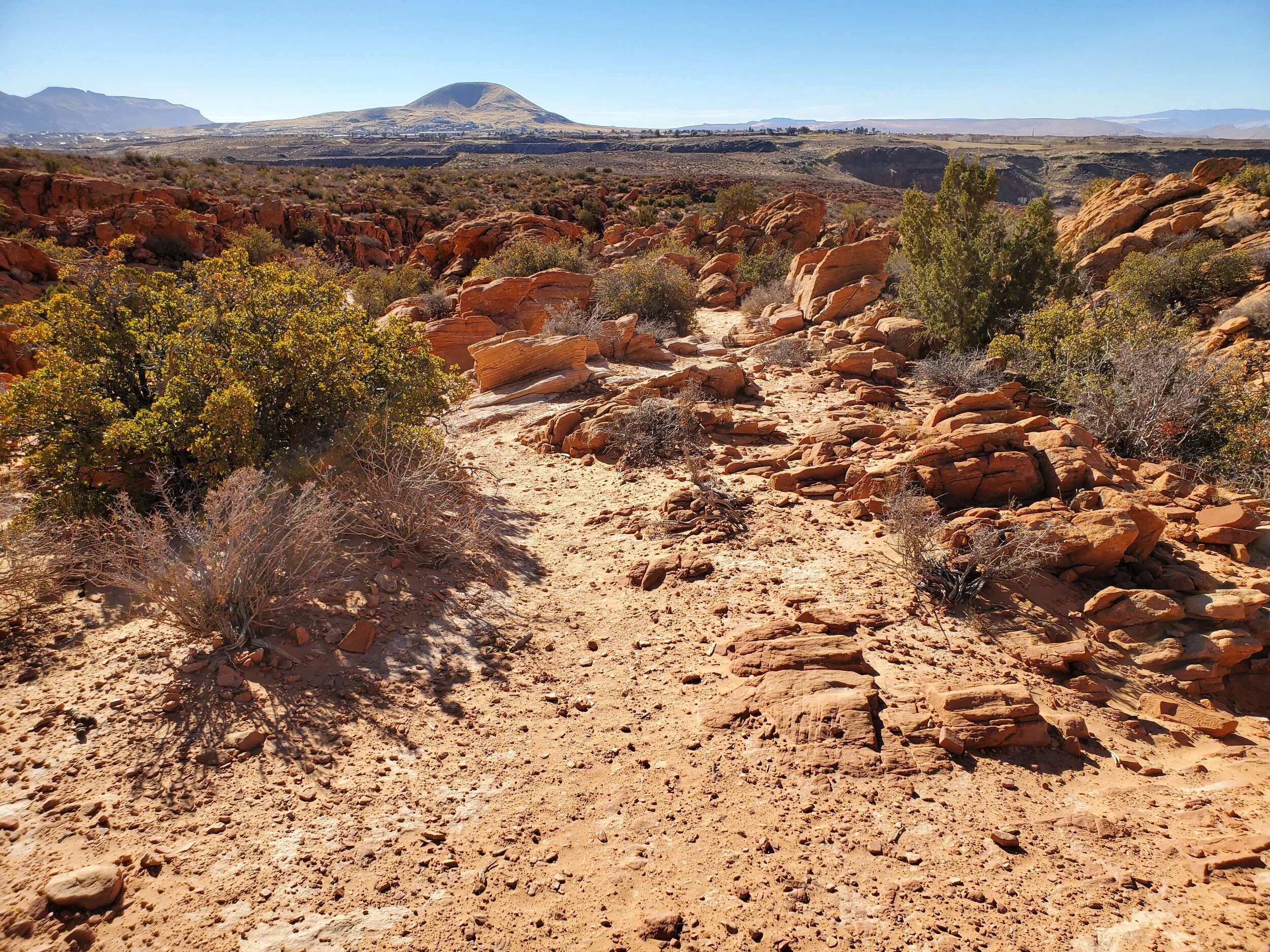
It is Martin Luther King's holiday weekend, and typical for this time of year our "spring thaw" has begun. Temperatures will be in the low 50's today here in Cedar City, but in the min 60's a little further south. With the local-area ski resorts already suffering from overcrowding due to continued COVID-19 restrictions in the neighboring state and the lack of good snow conditions, I've decided to enjoy the sunshine, load up the ATV, and head to Leeds and the Red Cliff Conservation Area.
The area hosts over "130 miles" of multi-use hiking trails, generally allowing any non-motorized passage. The area is rugged and hosts few amenities for being close to a major city; however, that could be due to the conservation district's age only being established in 1996.
I park my truck, north of Leeds, next to the freeway. A small staging area is overflowing, and I count 8 vehicles with trailers already lined up and off to enjoy the sights. This is my first ATV ride in the area, and I have minimal knowledge of the trail system. I'm planning to hike the Babylon Arch trail, and I'm familiar with where the trailhead and parking are located. The map I did download shows a primitive camping area and road located past the main trailhead, and I follow the road to a deep ravine. Several cars are parked in the ravine, unable to go further. I park my quad just out of the ravine and decide to hike the rest of the way.
Primitive camp area
I could have, and should have, driven all the way to the primitive camping area. But, such is hiking in a new area. The camping site is stunning, sitting at the base of a large sandstone cliff, including an arch, a large dune, and small outcroppings of the colorful rock. I enter through a gate in the fence and follow the well-worn path, which quickly spiders in dozens of directions. Of the information I did read, not being able to follow the trail was the largest complaint. Ample cairns marked a well-worn path, and the one time I did find myself off the trail, I was able to return relatively quickly by continuing to hike in the general direction.
Babylon Arch Trail View
The path works down a series of ravines and ridges as it cuts horizontally across the larger area. The arch itself rests in the Virgin River's flood plain, and I feel some trepidation at the long descent down a large dune to the flood zone. The arch is stunning as I wander around it and several other arches and windows in the area. Further east, a trail leads up the rugged ridgeline, which helps me avoid the sandy slog up the dune.
Babylon Arch
Back at my ATV, I decided to continue driving along the dirt road heading north and review more of the ATV trails in the area. The area is beautiful, and the occasional sandy routes are fun on the quad. The trail leads along a ridgeline that looks down into Toquerville, UT on my right-hand side, and Leeds, UT on my left. Someone has topped off a pair of upright lava rocks with a red plate of sandstone, which is marvelous in this setting. I spot a lone trail leading in the general direction of UNP 3890 and follow the paths attempting to connect with it to the summit.
Peak 3890 is too rugged for the ATV track to ride to the exact top; however, it is a short hike as I park the quad and pick up my pack. UNP 3890 is not a ranked summit, but I enjoy standing on the peak if listed in the quadrangle data that I use. Like most desert peaks, the view is breathtaking in every direction. Pine Valley mountain range is astonishingly devoid of snowpack west of my viewpoint, which does not bode well for the need for water in this desert country.
UNP 3890. Hurricane - UT, quad
I follow several cars and jeeps out of the desert preserve, having watched several cars make U-turns as the sand makes passage even on the main road difficult. The jeeps have no problem, and I smile as I run my ATV up and down the side dunes along the road. My other cars a jeep, but I've also found a singular joy in riding an ATV as well.


