
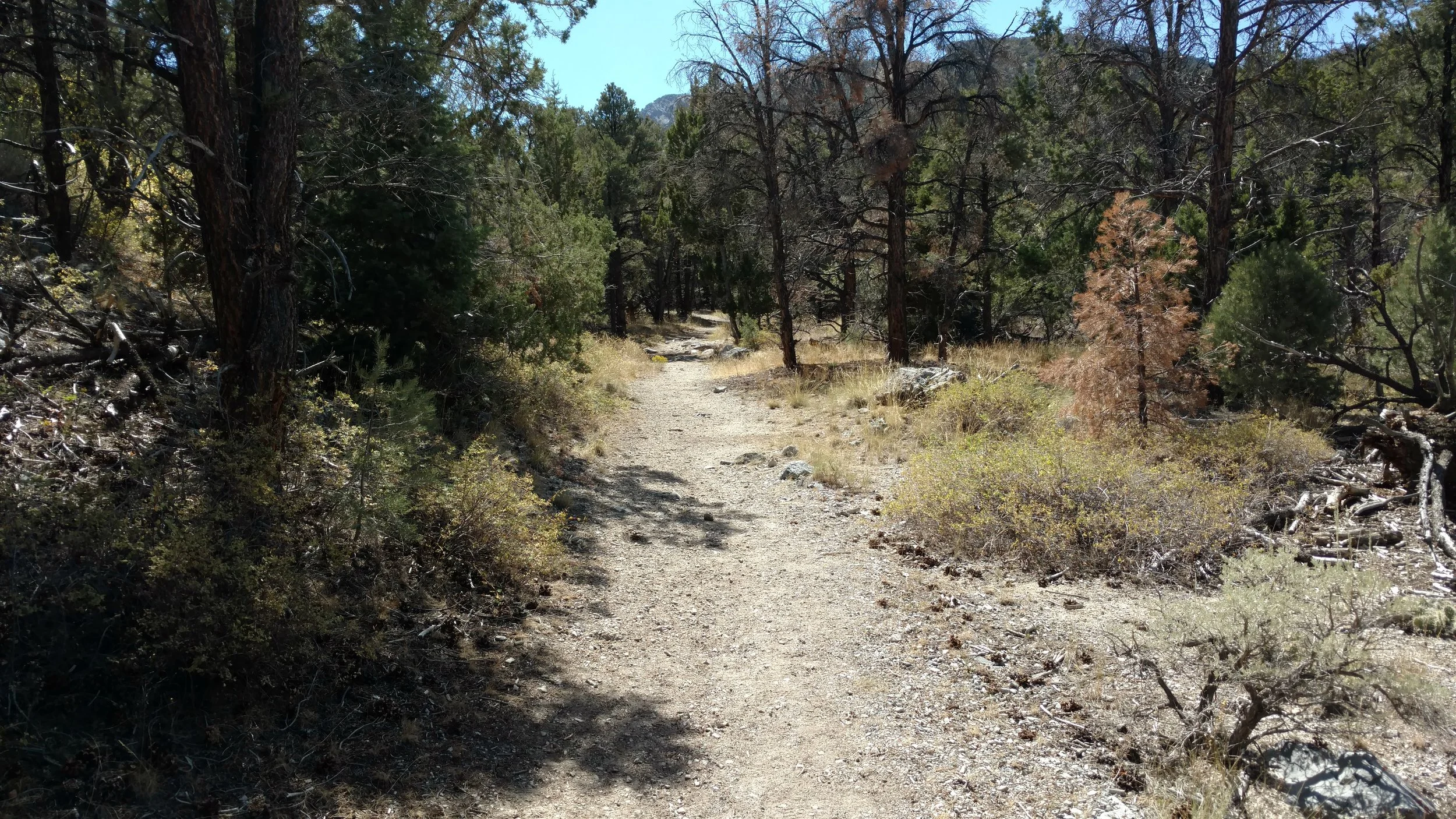
Looking back I shouldn't have been surprised. The Bristlecone (The official newspaper of Great Basin National Park) Trail Guide section simply stated that Pole Canyon was a moderate hike; which "passes through different forest communities, along the creekbed, and into several small meadows. And that's about the sum of it. The trail itself is located off of the Baker Creek campground road. From the main Great Basin National Park entrance turn left at the Baker Creek road, follow the graded (but often wash board) gravel road to the Gray Cliffs area and turn left. The camp sites are located to the right and the Pole Canyon Trailhead is left. The road follows a very narrow cut in the hillside before entering a level spot (no camping allowed) and finally enters the Trailhead area. A nice day-site for picnics and bathroom facilities are located here. The trail starts at the information board and crosses the small stream.

Pole Canyon walking bridge
After crossing the creek, the trail joins another trail coming up from the valley, I tried to find additional information on the connecting trail, but it isn't on any of the information maps I have. The trail turns up canyon and like the guide says walks along the creekbed.
Pole Canyon Trail
I'm using this hike as a warm up after arriving and setting up camp an hour or so ago. The trailer is parked in the Lower Wheeler Peak campground and I couldn't have timed it better if I had tried. And I guess try I did, I left Cedar City this morning in an attempt to arrive here at Great Basin on a long 3 day, Labor Day weekend, around campground checkout time, which is noon. I hoped to arrive between 11:00 and 1:00 which I figured would give me the best chance of getting a spot. I did, and I'm excited about that. Now with an afternoon to hike, acclimatize myself I figured Pole Canyon would be a nice hike. Unfortunately, I am growing bored with simply hiking among the "different forest communities, along the creekbed".
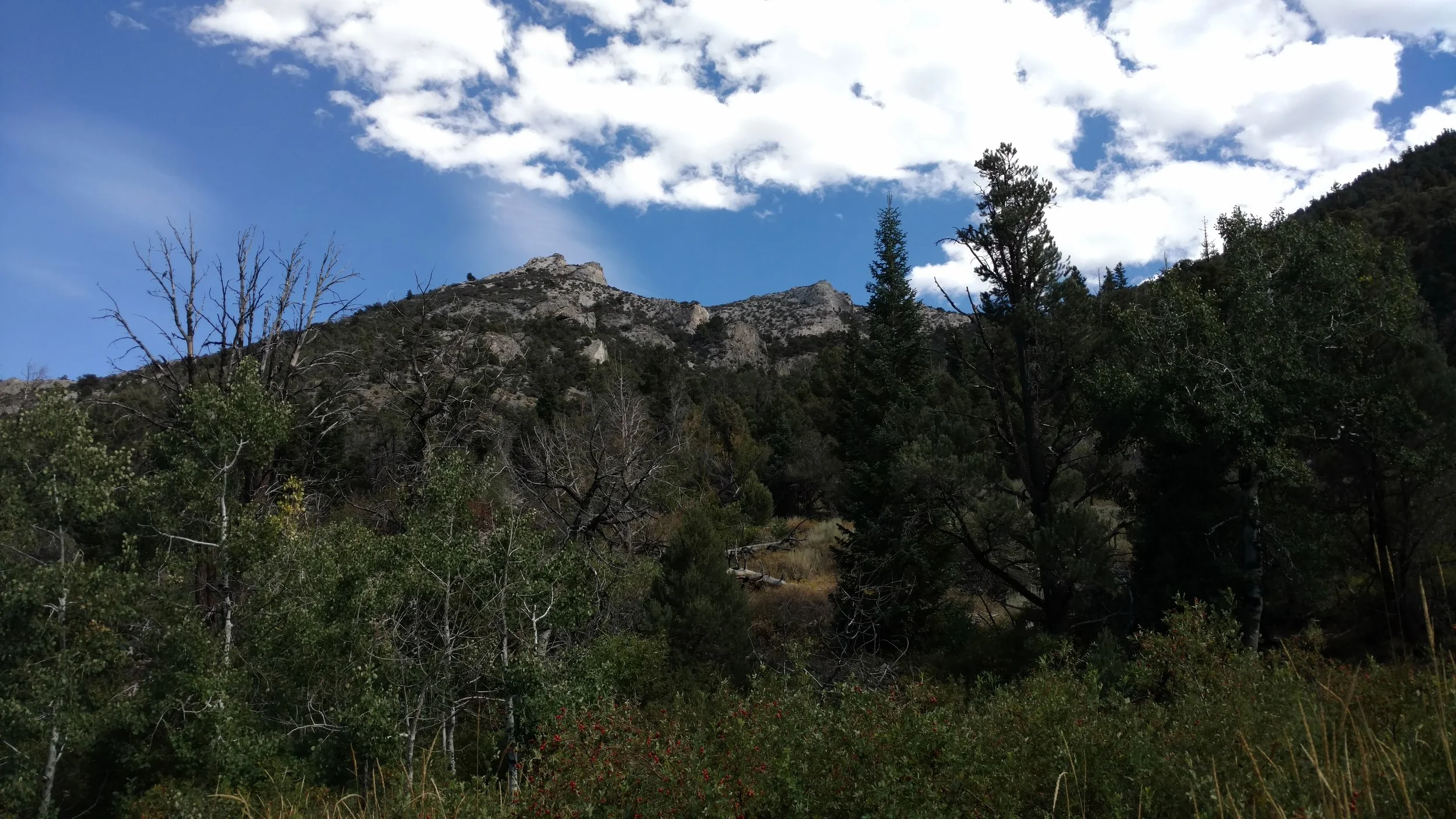
Rare view between the trees
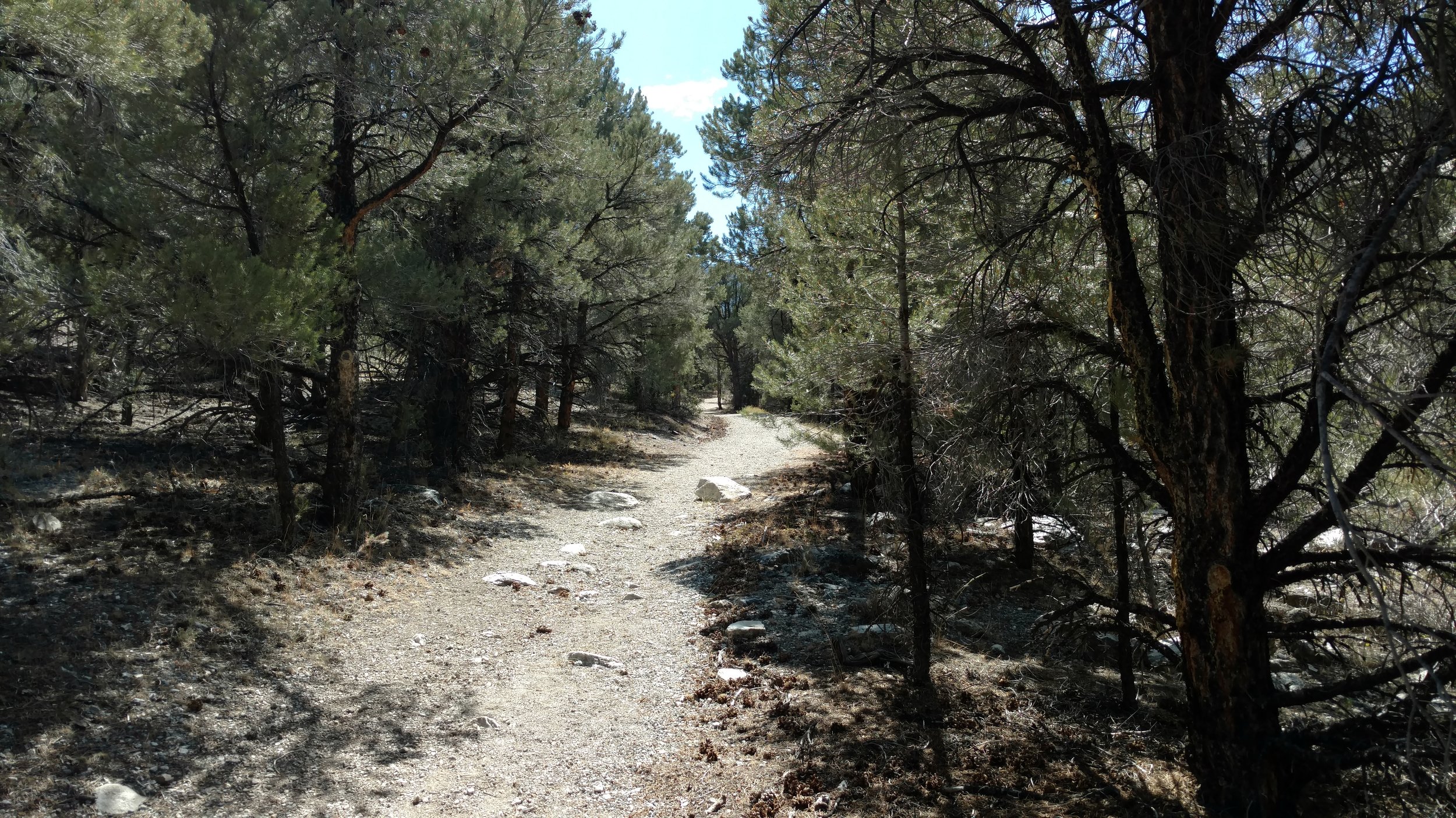
I check my GPS and I've only made it less than a mile. The total distance is 2.3 miles (one way) to the End Point which is the Upper Pole Canyon Spring. I figure I'll go at least that far. More tree communities and I check the GPS again. Not quite a mile, so I modify my goal to hike to the Timber Creek Cutoff Trail which is at the 1.8 mile mark. I hike through the several small meadows and check the GPS again and I've gone just over the 1 mile mark. And that's about all the boredom I can handle. Don't get me wrong, it's a nice hike up a gentle slope, but it is just walking down a trail and here in Great Basin National Park there has got to be more amazing views than tree communities and meadows.
Trail view