
Located on the north side of the township of Hurrican, UT are a series of volcanic cinder cones. These cones have been used over the years by hikers, mountain bike riders, and developers. However, through the Omnibus Public Land Management Act of 2009, Congress designated the Red Cliffs National Conservation Area. Approximately 45,000 acres of public land make up the NCA area which extends to and includes this cinder cone and the cinder cone to the west.
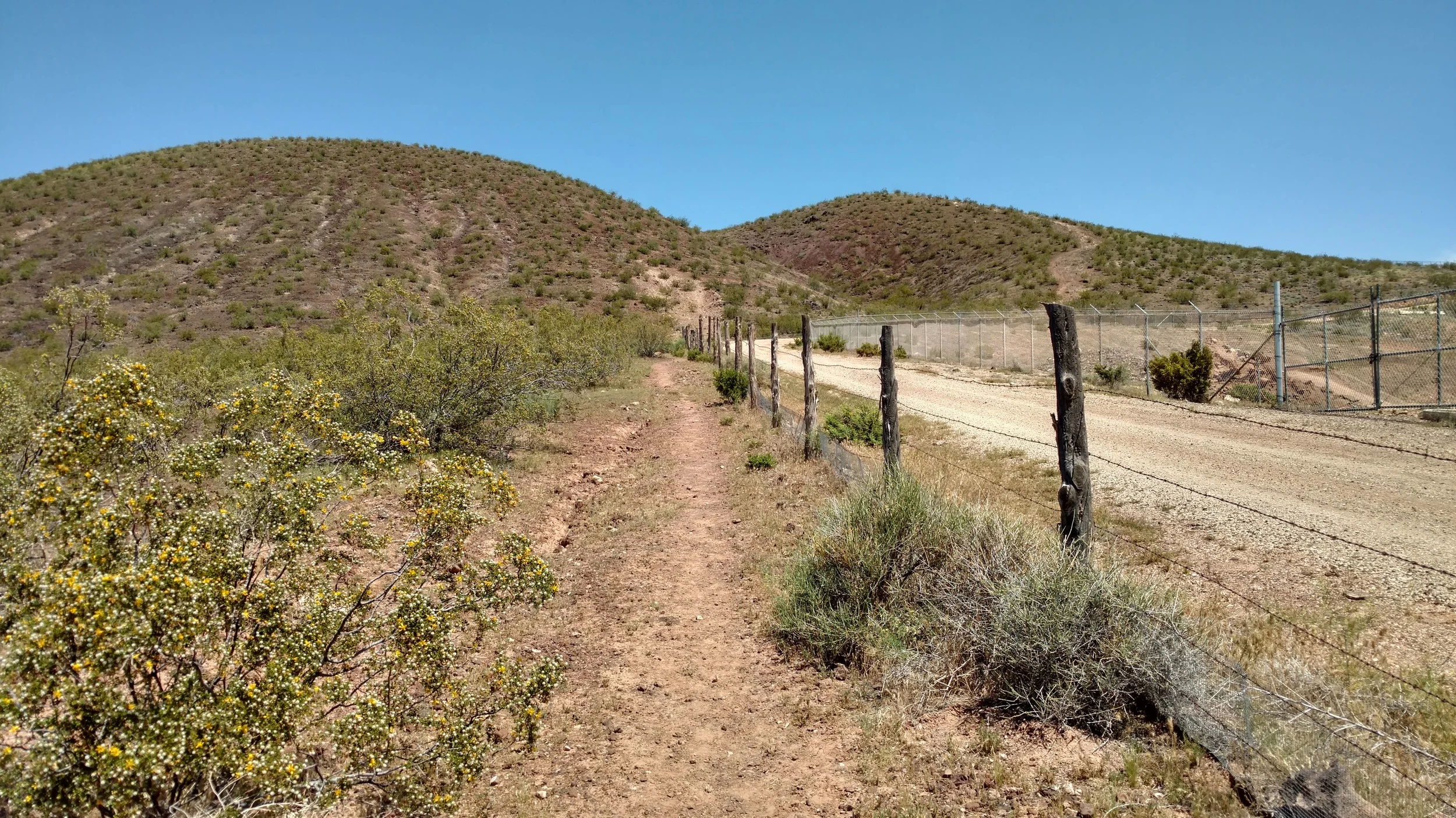
Hiking trail leading to the East Cinder Knoll
The NCA area continues to allow hiking, horse riding and mountain bike riding in the area. But limits access to motorized vehicles including ATV's. The cinder cone is unremarkable in many respects. A slippery slope of small cinders make hiking up the steeper sections of slope a "one step forward, two steps back" kind of effort. Typical of cinder cones the top center is depressed and collects water during the rainy season. Not common is the view north from this cone. A stunning view north and west of the remaining 45,000 acres of NCA. The protected area of sand, mountains with the Virgin River cutting a deep swath through the rugged lava rock is breathtaking.
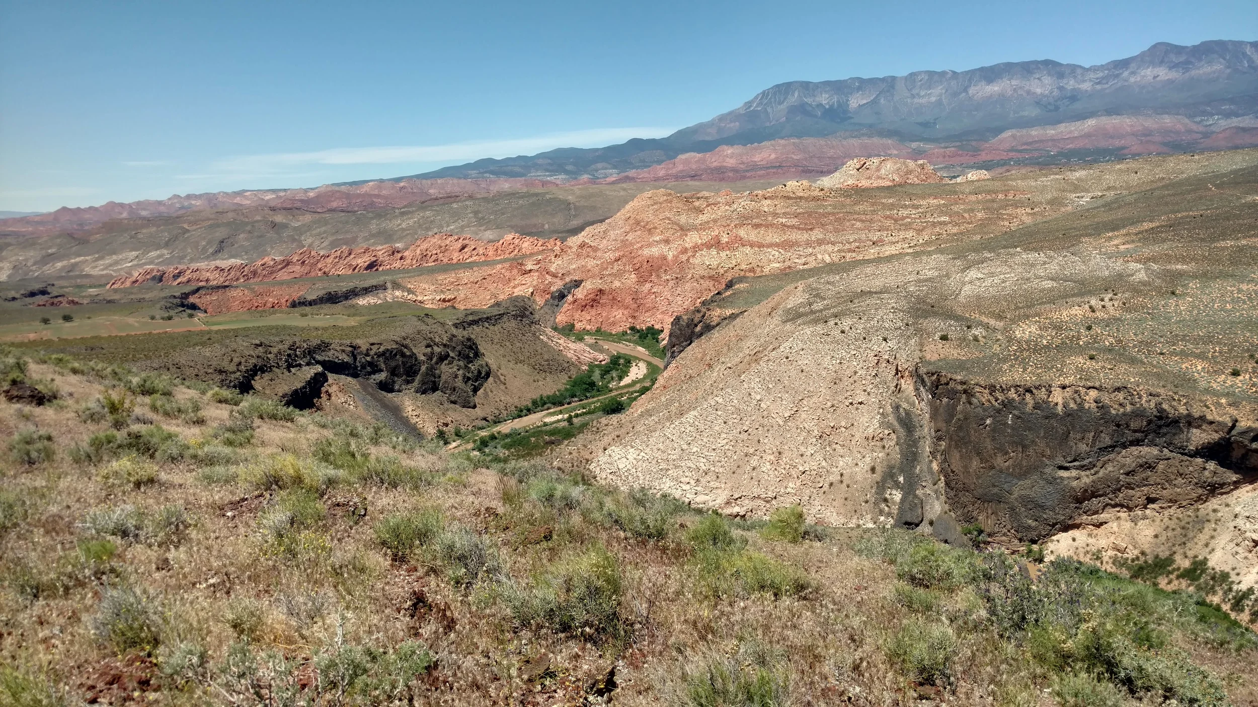
Virgin River
I spend an inordinate amount of time eating lunch and enjoying the view. The hiking / mountain biking trail I am following circles back through the center of the cone and off the eastern face, following the fence line back to the beginning. Forming a lazy figure 8 in the process. The hike was a short 1h:07m time including lunch, but was well worth the effort.